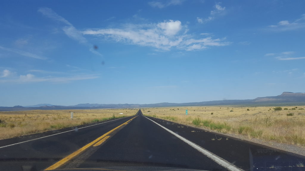
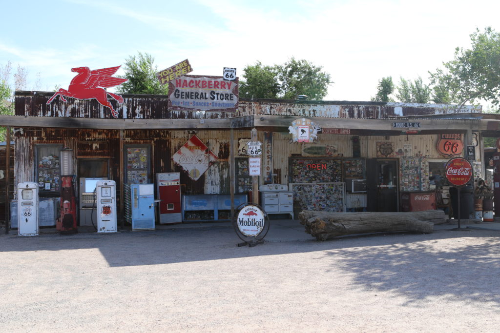
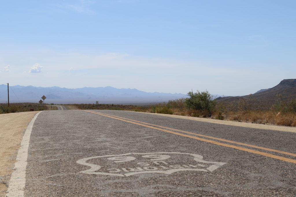
We start the day with a quick breakfast and strike out early, towards California, the final state on the Route 66 trajectory. The first part of the journey runs through the Arizona desert, past Peach Springs, Truxton, Valentine and Hackberry, where we find the Hackberry General Store, filled with Route 66 gifts and memorabilia.
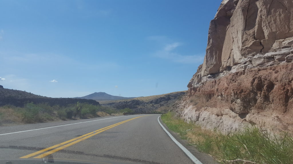
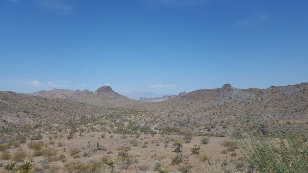
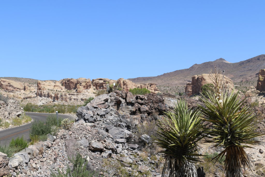
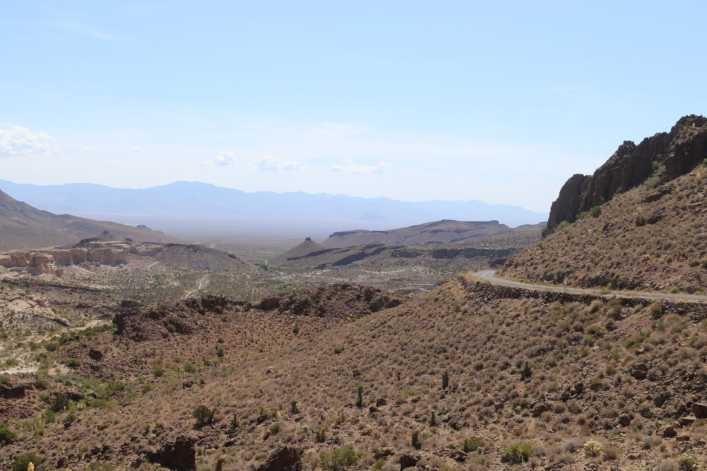
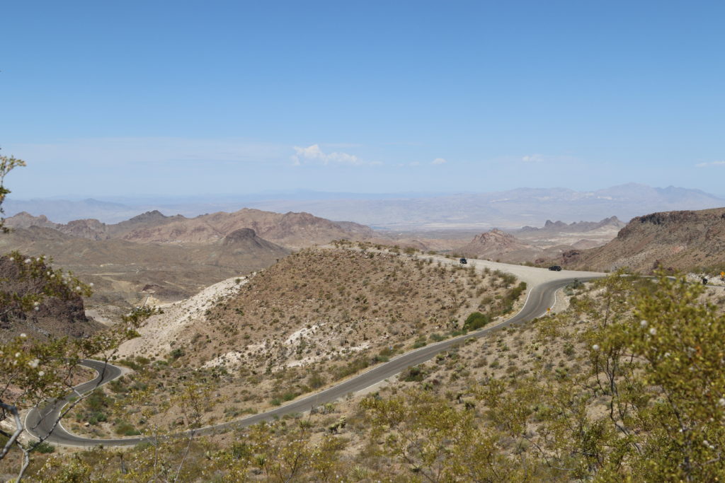
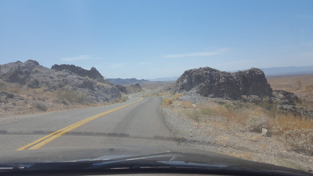
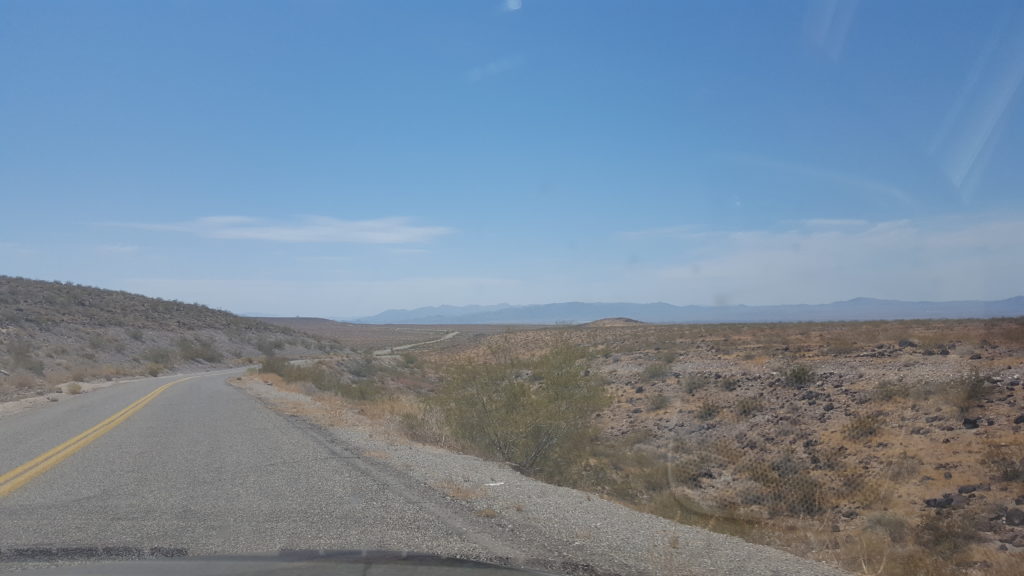
From Hackberry, we soon enter the road to Oakman. This part of Route 66 was known for it’s sharp turns and steep grades. We don’t mind much, having driven in Italy, Spain, Croatia and France, but I can see how this road gives people who are used to broad, straight roads like most roads in the US are, the creeps. Before we get to the steep, curvy part though, the road first goes through a vale, flat and desolate, where we can see many scattered shacks and trailers in which people live. It reminds me of an articleI read awhile ago about just such an area.
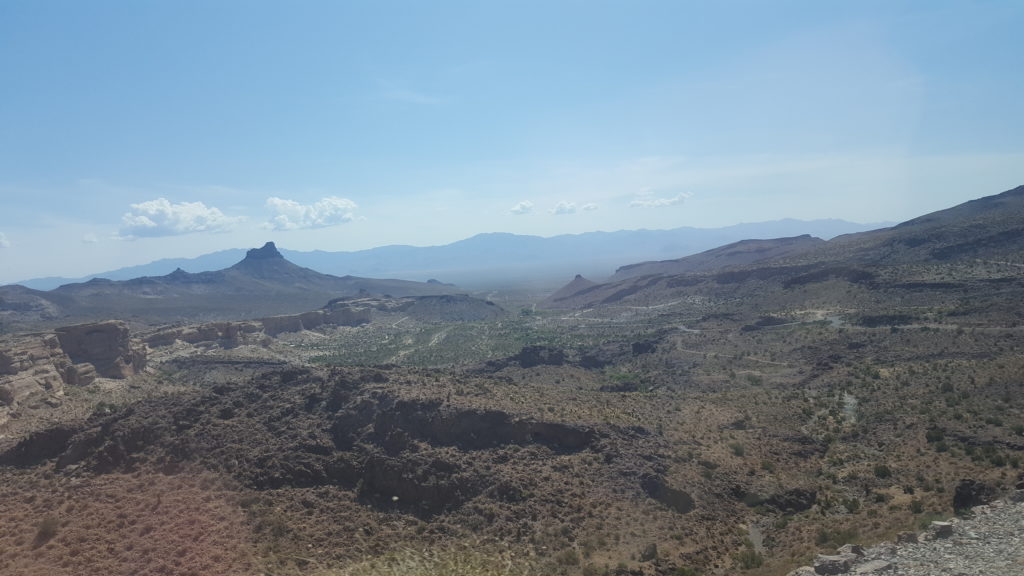
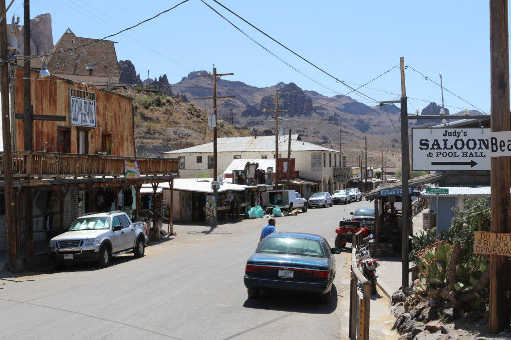
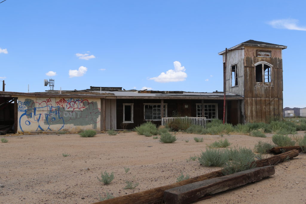
Oatman is an old mining town. It once housed 10.000 people and had 20 saloons in the 1908-1915 years. Then, in 1941, mining for gold was prohibited because the government needed other metals for the war. Oatman soon lost almost all inhabitants till only 200 or so remained. When Route 66 was bypassed later on, only 3 people remained, and this lasted for 30 years. But when interest in Route 66 started to rise again, Oatman found a new reason to be : tourism! Today it resembles a live Wild West town, complete with wooden sidewalks and wild donkeys (burros) in the streets. Of course it’s a tourist trap of sorts, but it’s still great to see.

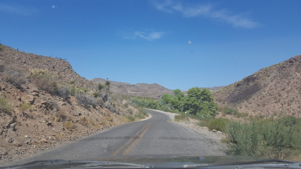
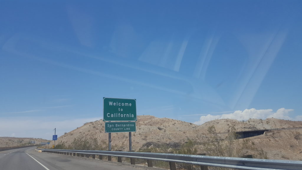
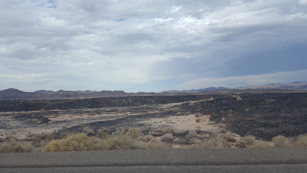
From Oatman we enter more desolation and desert, with wonderful vistas. But also clouds growing bigger and darker. Nevertheless, we pass the border with California in sunshine and with a nice warm temperature. At one point the car temperature info tells us it is 46C. While driving.

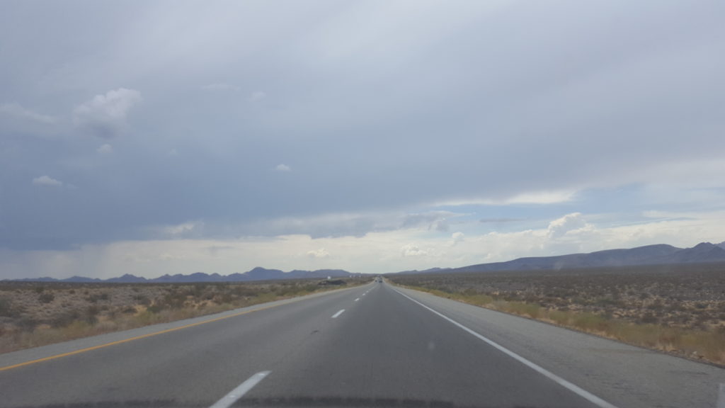
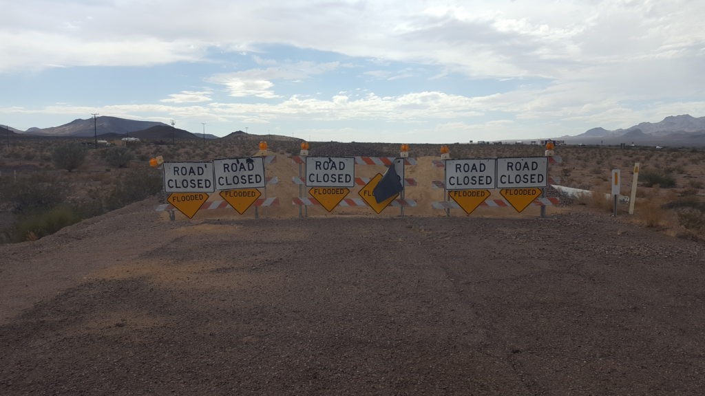
Soon after we enter California, we start to get into trouble with following the Route. The sky gets dark all around us with storms, and past Fenner we encounter a closed road, just before we get an alert on my phone about flash floods and dangerous weather situations in the Mohave desert (where we are driving). So, we have no other option than to turn around and use the I40. It means we miss Amboy, which we were looking forward to see.
Since we used the I40 for the final part of the journey today, we arrive early in Barstow, where we will sleep. Tomorrow our goal is Los Angeles!
Wow,wat spannend allemaal en wat mooi en en ook:soms wel heel desolaat,zou niks voor mij zijn zo’n verlaten route ,zou het gevoel hebben dat ik alleen op de wereld was
Het is wel heel afwisselend allemaal..Hoop voor jullie dat er niet teveel omleidingen enz.komen zodat je de route als gepland kunt rijden.Succes.
Dankjewel! We hebben nog maar een klein stukje op Route 66 te gaan, en ik verwacht niet veel problemen op dit stuk. Het is fantastisch afwisselend, we zien zo heel veel can de USA!