Route 66 – Day 18 & 19 : Home

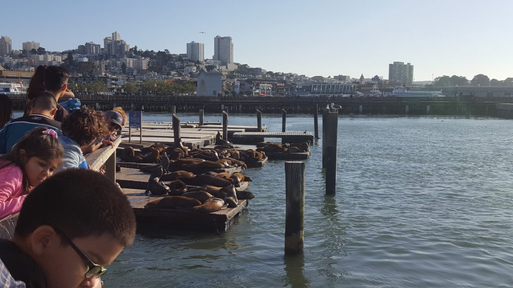
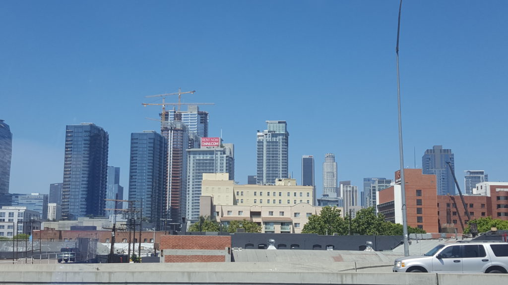
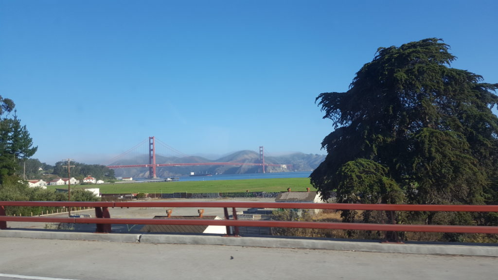
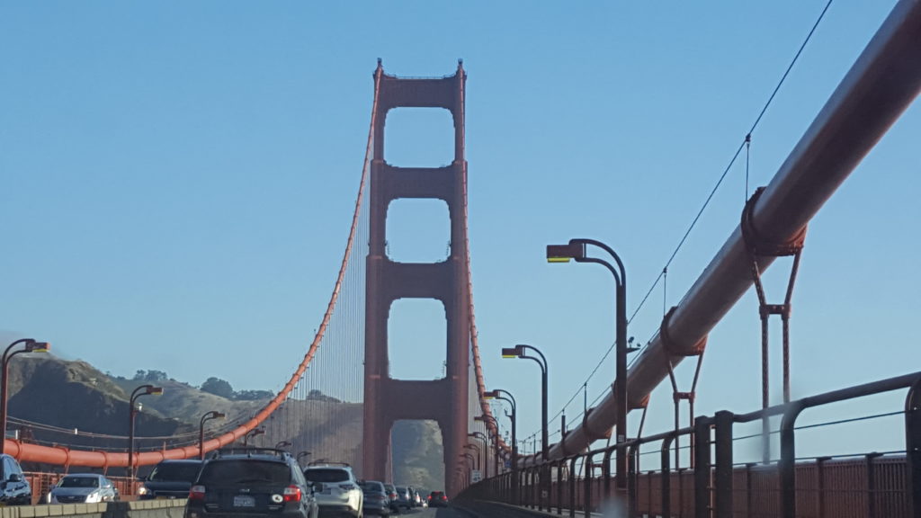
And then, it’s time to go home again. We have two loooooong days of driving ahead, so we leave early. We start the day off with driving over that one special bridge known by everyone worldwide (I think) : The Golden Gate Bridge. Since I was last here in 2009, the toll regime has changed. Back then, you had to pay toll at a booth when you drove out of the city. Now, you can drive North (out) without paying. You only pay when you drive South (in), and only online, there are no booths anymore.

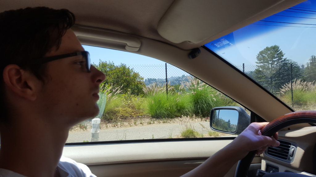
Jonathan is driving of course, since we didn’t get to bike on the bridge, it’s only fair for him to drive.

To the Golden Gate Brdige!
On the bridge

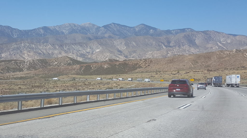
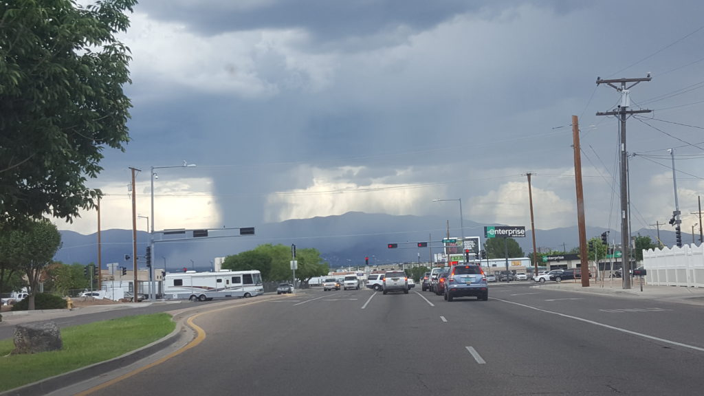
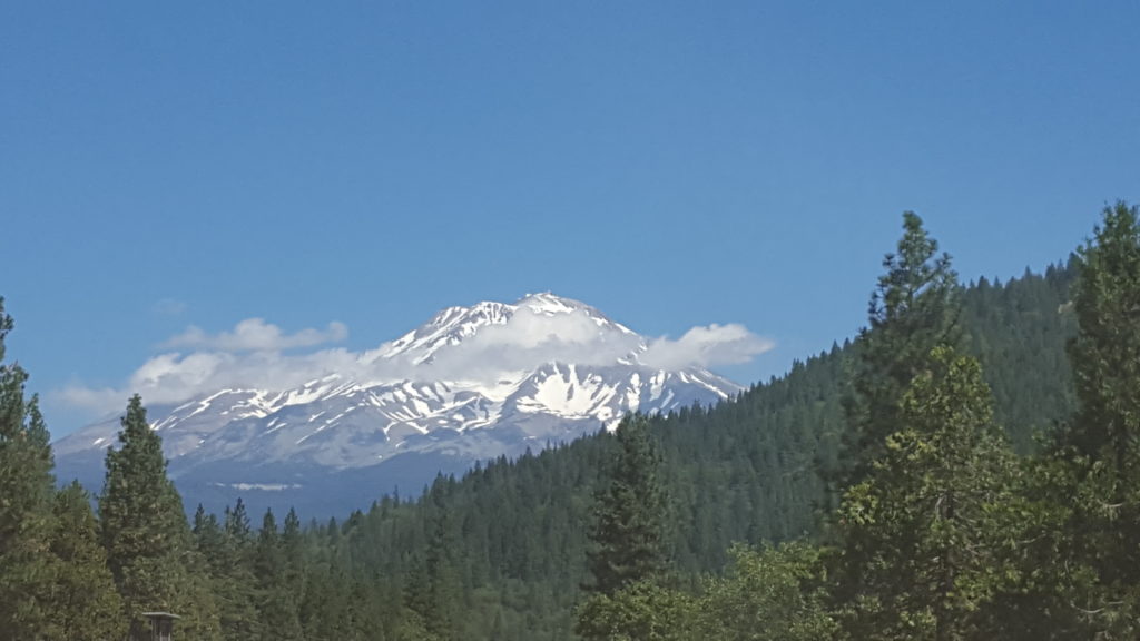
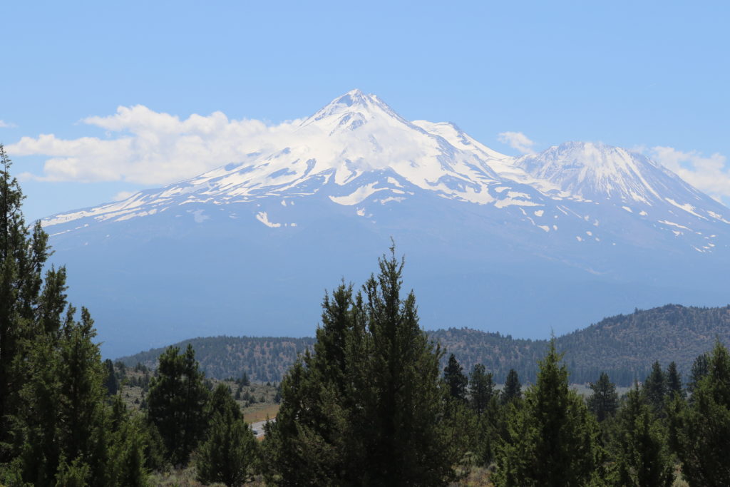
After this, we continue heading North on the I5, and it isn’t until after we left that interstate and near the border with Oregon that we next see something interesting : Mount Shasta. This giant is a volcano and far from sleeping. Apparently, it is active, and though not posing any immediate danger of erupting, it might someday in the near geological future erupt again. (note : the geological timescale is somewhat different from “our” timescale. When we say near future we think of sometime in the next few years, on a geological scale it’s more like “sometime in the next 100,000 thousand years).

Mount Shasta
Mount Shasta
Oregon

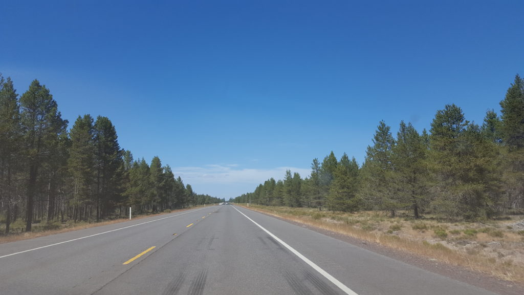
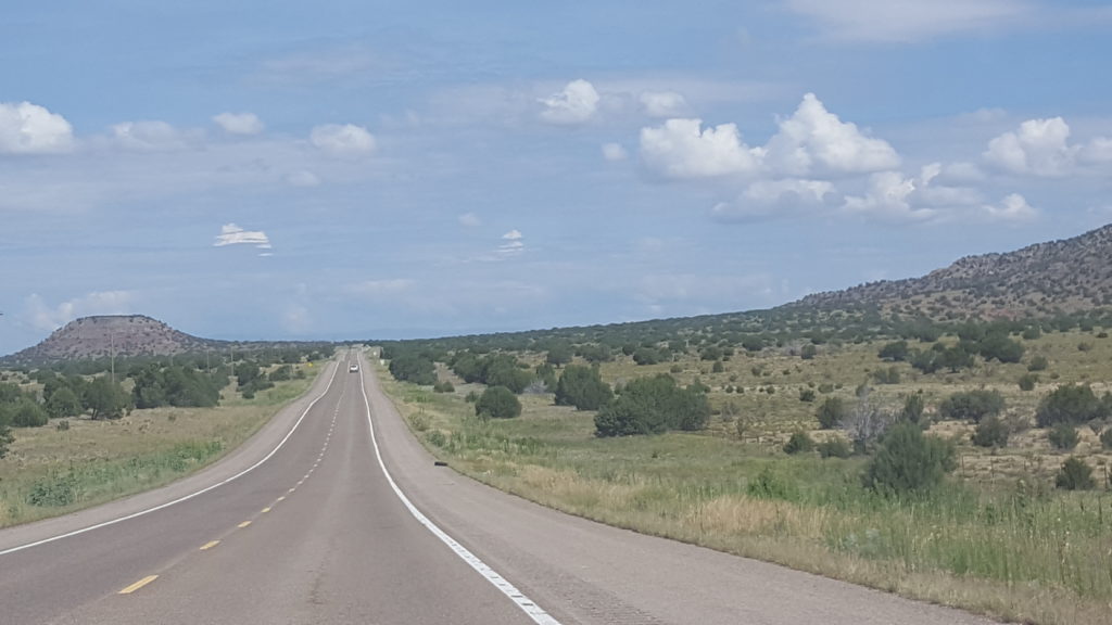
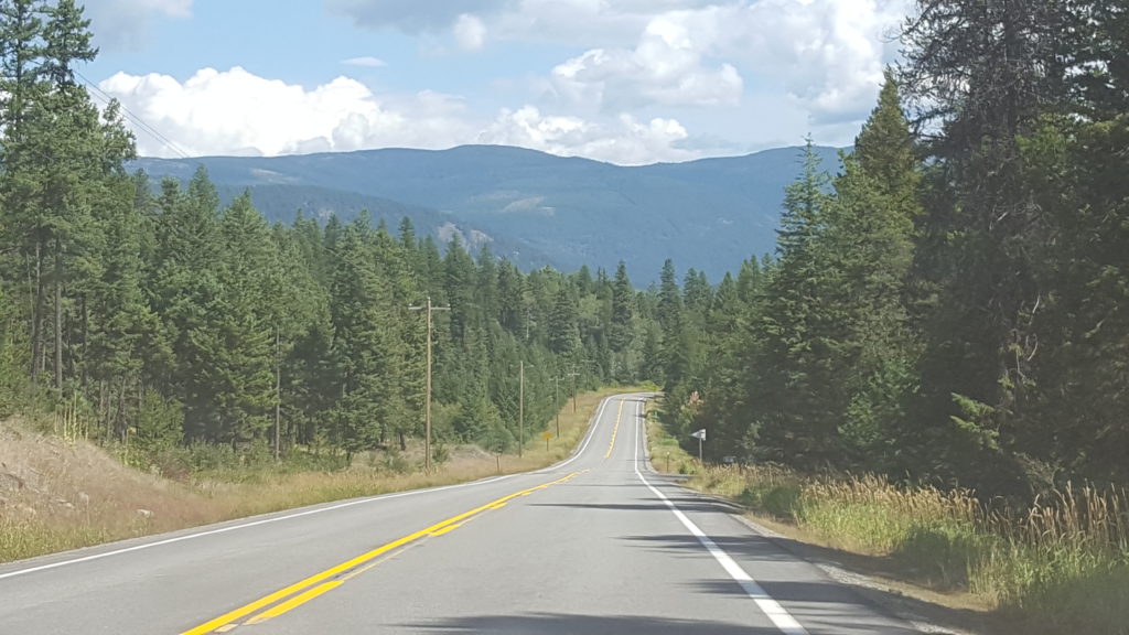
After Mount Shasta we cross into Oregon and soon are traversing a quite big flat larea filled with pine forests, on a very long and straight road.

North Oregon

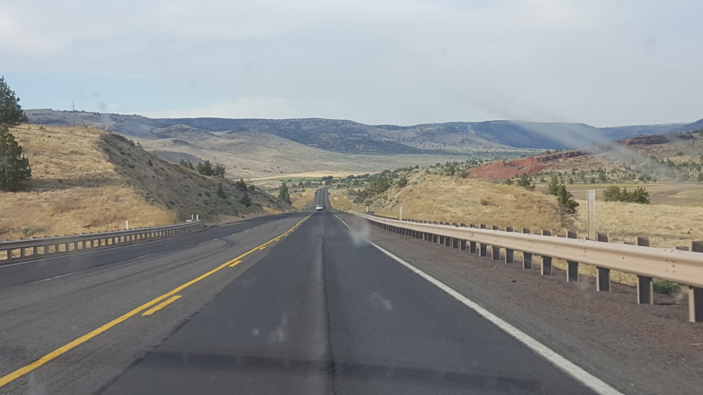
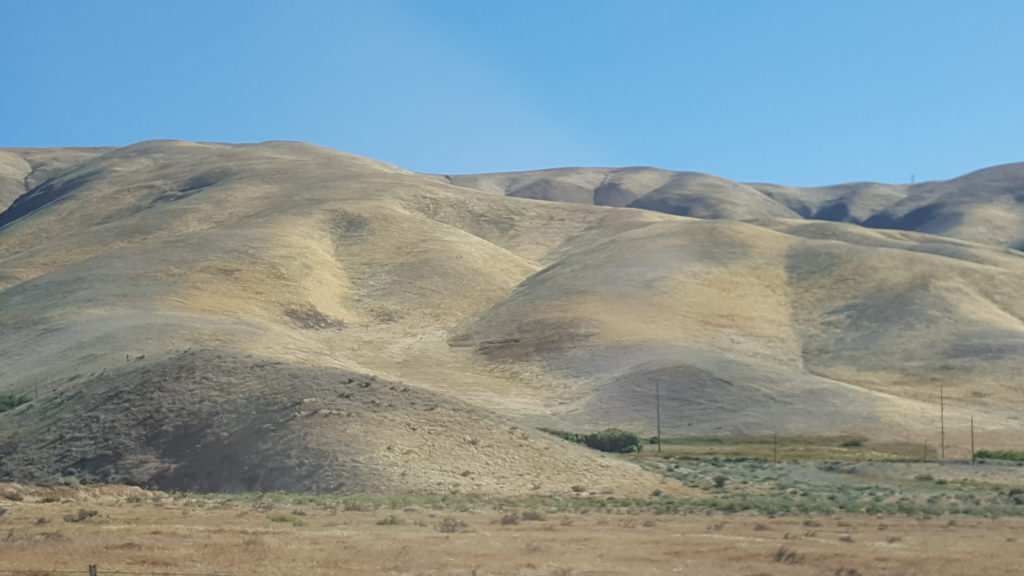
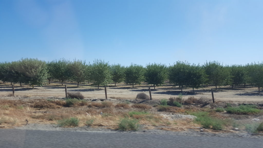
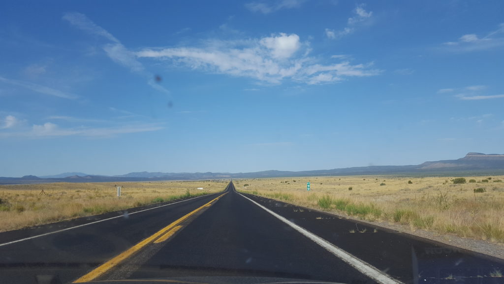
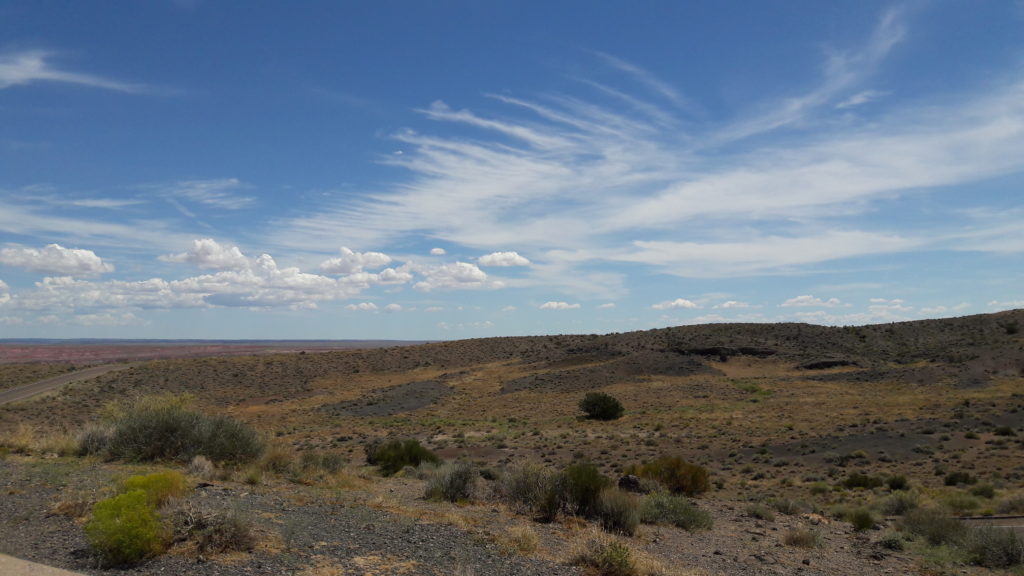
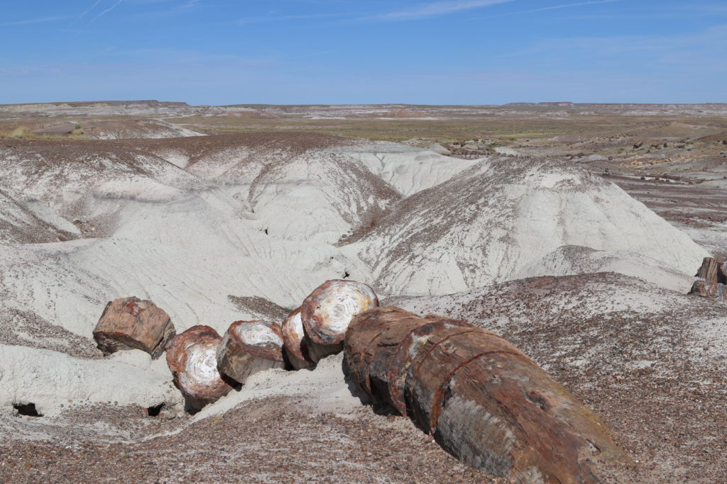
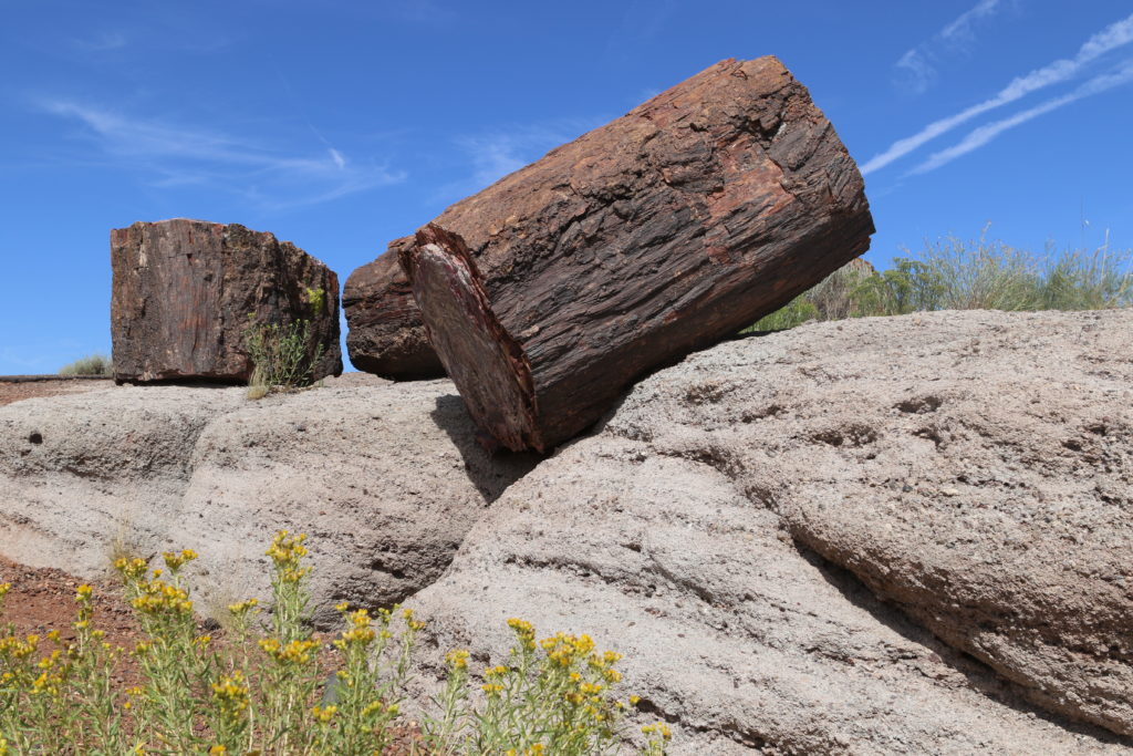
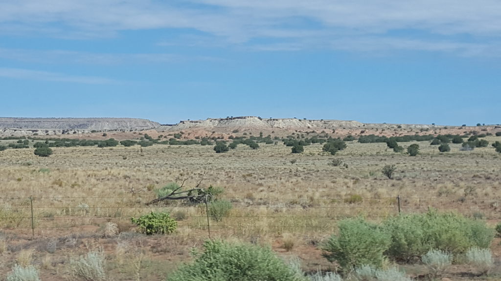
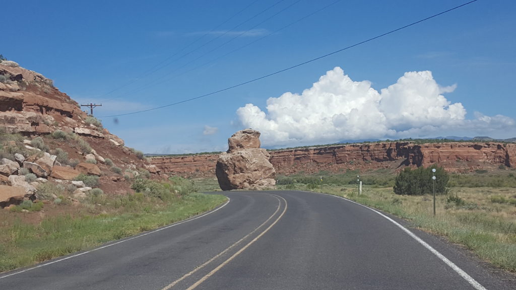
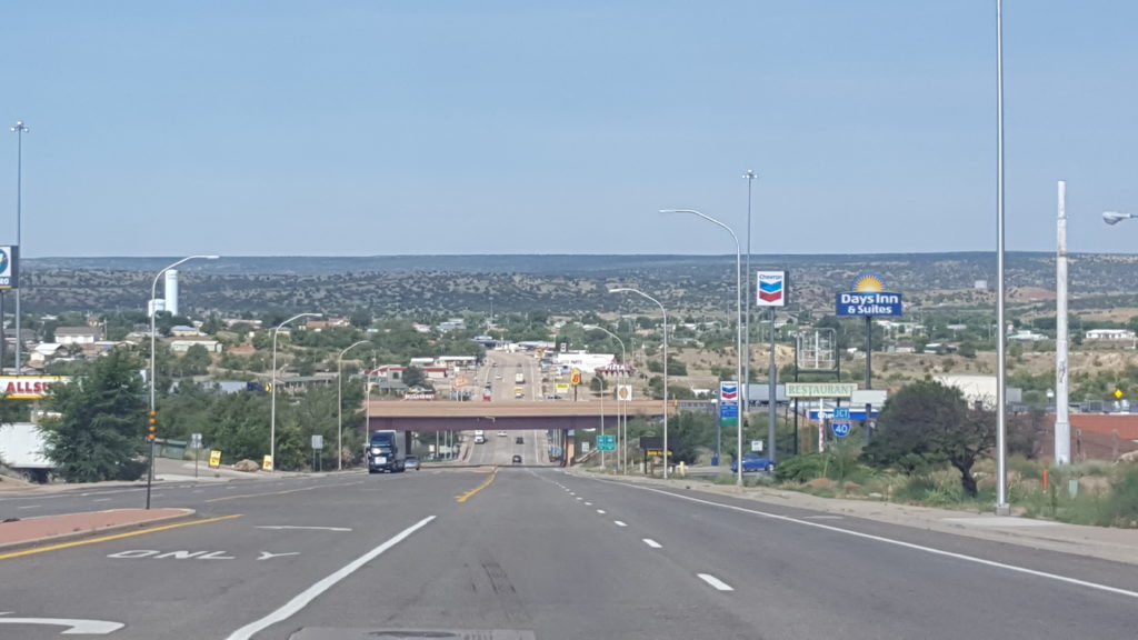
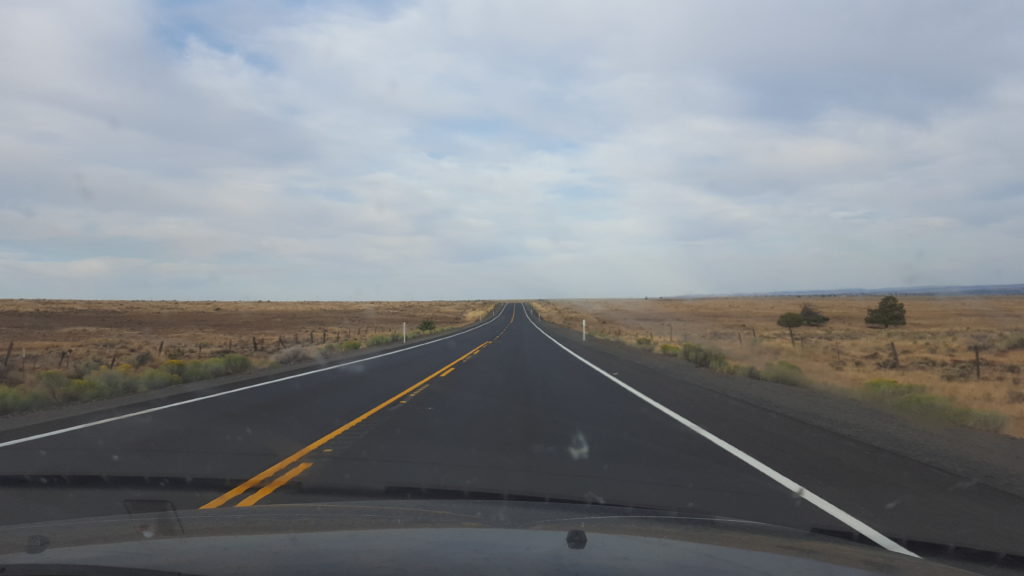
Past Madras in North Oregon we keep following Highway 97, and end up in an area with badlands, huge grain farms, and very small, old, and silent little towns. The Highway is called “Sherman Highway” and there is road signs that make me suspect it’s also a touristic route.

Sherman Highway
Columbia River along I84

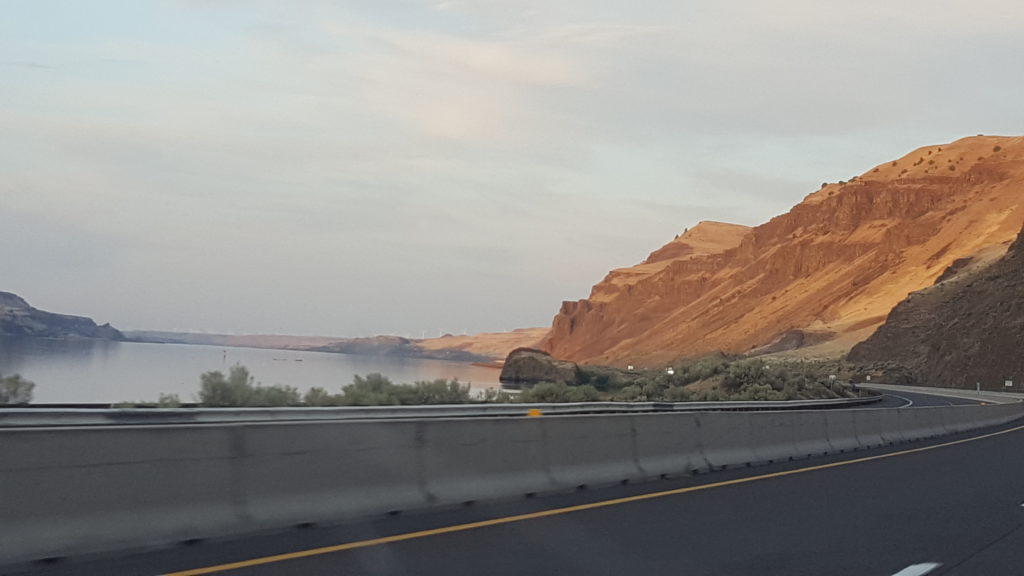
Our final stretch for the day is on the I84 along the Columbia river, and we spend the last night of our trip in Umatilla. This lies right on the border with Washington and in that state there’s a town named “Walla Walla” which I absolutely love!

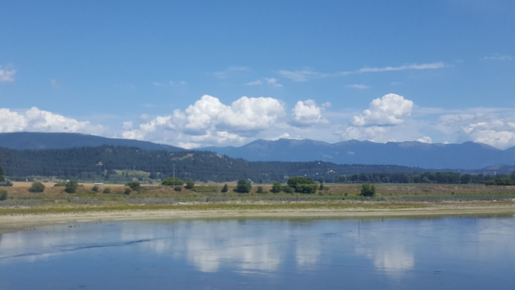
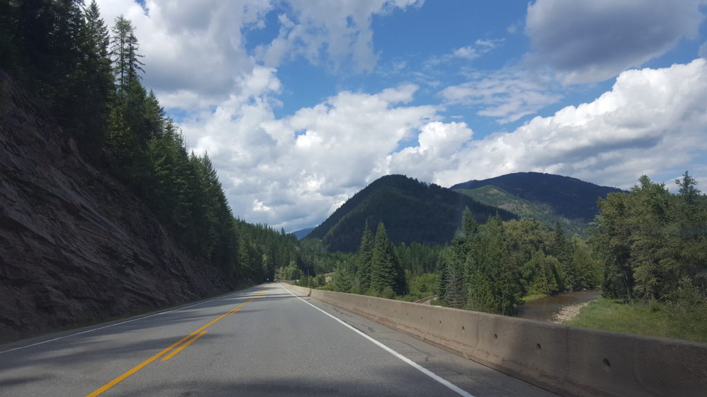
The final day brings is through Washington, and into Idaho. I can see why many Albertans go on holiday here and in Montana. There’s mountains just like at home, but way less tourists. We enjoy the drive and the scenic views and before we realize it, we are at the border with Canada! After a few questions and showing our PR cards and passports, we may enter and can continue along the final stretch of the journey.

Idaho
Idaho
Quick Lunch just across the border in BC
BC near Radium Hotsprings
BC near Radium Hotsprings on HW 93

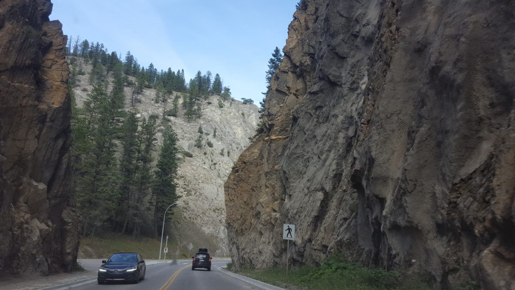
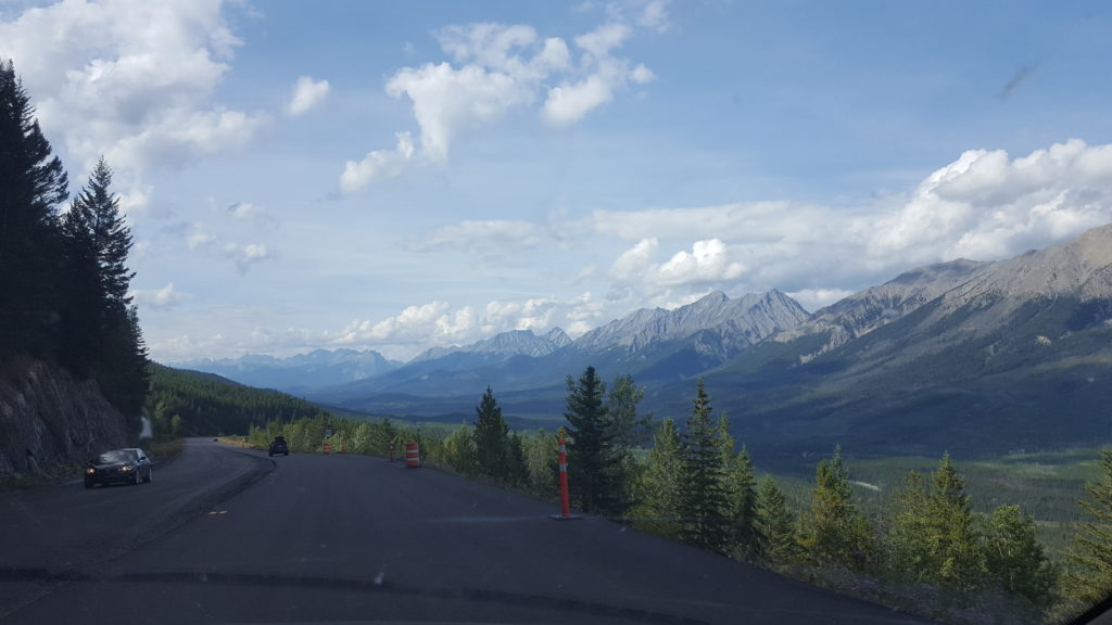
Once we are in Canada, we are eager to get home and we drive to Radium Hotsprings, and then on to HW 93 in the direction of Banff. And from there it’s just a short hop

The Rockies – Home!

Route 66 – Day 17 : San Francisco

I’m writing this post at home, the final couple of days were just too long and I didn’t feel like messing around with blogs in the evening 🙂 Anyway, here goes! This day, we leave LA and head North again, back home. But first we’ll stop at San Francisco. The plan is to try to rent a bike and visit the famous bridge. To this end, we get up early and leave LA while the streets are still empty.

Leaving LA
North of LA
Between LA and SF

The landscape is pretty dry as we drive North, but still beautiful. There aren’t many cities or towns along the I5 towards SF so we travel fast. Soon we drive through endless orchards, where the oranges we eat up North are grown.

The California Orchards

Everything goes smoothly until we reach the Oakland Bay Bridge. I don’t have a good connection but I can find out that apparently an accident happened on the bridge. And there’s a baseball game in town, adding extra traffic. Sadly, we’re already past the last exit before the bridge. Which means that it costs us about 3 (!) hours to finally reach the tollbooth and get over the bridge.

Oakland Bay Bridge
Oakland Bay Bridge

By the time we finally reach our motel, it’s too late to try to bike the bridge, so instead we walk down to the docks and to pier 39. SF is how I remembered it from 2009, except the weather is better and it’s WAY more busy. But that makes sense since it’s middle of Summer now and last time it was May.

Pier 39
Pier 39 – It’s busy!
The obligatory pic of the seals
The Golden Gate Bridge

We wander around the pier and then up to Lombard street, the crooked section, which happens to be filled with tourists in cars wanting to drive it, as well as a heap of people blocking the street at the lower end, taking pictures of that. Of course we have to join in the fun and take a few pics too!

Lombard Street
Lombard Street

We walk to the top where we can see one of the famous trams (overfilled with tourists), before we walk further West on Lombard Street, since our motel is located at this street too! The day didn’t go exactly as planned but it was still fun to walk around in San Francisco again.

Tram

Route 66 – Day 16 : Los Angeles

Technically we won’t be in Los Angeles itself today, but we’re in the greater LA metropolitan area. Anyway, today our goal is to visit the Battleship Iowa, and Venice Beach. But first we drive towards Malibu along the coast. This is one of the roads Jonathan wanted to drive because of GTA V. It’s sometimes creepy how good that game recreated pars of this big city. We recognize the road along the coast with some landmarks and distinct intersections.

Towards Malibu on the coastal Highway
Vincent Thomas Bridge, LA Harbor

In Malibu we turn around and head South to LA Harbor, where the Iowa lies. I’m looking forward to visiting the battleship because I know it has a long history. Imagine, it was first commissioned in 1943, duringi WW2! It served for a total of 19 years in active duty till 1990 (she was decommissioned a couple of times, during which she was in the reserve fleet and not in active duty).

Battleship Iowa
Battleship Iowa – bow
Battleship Iowa

As can be expected, the ship is huge. We learn some facts from volunteers who did serve in the Navy and are around to explain things. For example, when all the big canons were fired, the ship did not move. And all crewmen had to be off the deck or they would be wounded by the force fields and the noise.

Battleship Iowa – Superstructure
Battleship Iowa – Officer cabin
Battleship Iowa
Battleship Iowa – State room

We also learn – and I did not know this – that President Roosevelt traveled across the Atlantic on the Iowa in 1943 for the famous meeting with Churchill and Stalin in Teheran. They built a special bedroom and bathroom for the president, who needed a big bath because of his condition. It was in the room in the picture above, that Roosevelt spoke with his war cabinet and most likely first proposed the division of Europe as was agreed on in Teheran. It felt weird to stand in that room with that knowledge, given how I love history!

Battleship Iowa – corridor
Battleship Iowa
Battleship Iowa – Bridge

In addition to the bridge above, Iowa has a second “Tactical Bridge” ( I think it was called ) where the officers in charge of a fleet or naval unit could work. Not every battleship had this, but Iowa did.

Battleship Iowa
Battleship Iowa
Battleship Iowa – Crewmen quarters

We also learn about life aboard the ship. It was pretty harsh in the old days. After the ship was refitted in 1984 it was a bit better, but still not much comfort or luxurious. There was no privacy, and there were many people crammed together in a small space. During WW2, about 2800 people serviced the ship. In later years it was less, but still about 1600 or so.

Battleship Iowa – Crew Mess Hall
Battleship Iowa – Bakery
Battleship Iowa – Crew mess Hall

It was an honor to visit the Iowa. It is good that it is a museum, and hopefully can teach new generations about the service and sacrifices made by the crew to keep the world a safe and free place!

Battleship Iowa

From the Iowa we drive North again till we are at Venice Beach. This is the last location we’ll visit in greater LA. We park the car (expensive!!) and saunter up and down along the Ocean Front Walk. It is very busy, and loud with different sources of music. Again, we remark how closely it resembles Venice Beach in GTA V. Which was the reason why Jonathan wanted to visit here.

Near Venice Beach
Why Venice is called Venice
Venice – Ocean Front Walk
Venice – the beach
Venice beach – the bike path
At Venice Beach!
Venice – Ocean Front Walk

Route 66 – Day 15 : Los Angeles

Disclaimer before we start : For some reason, WordPress stopped allowing me to save “standing” images today. I can save them laying on one side, or upside down. But all except one I uploaded today I cannot save in the correct position. After several hours of frustration I decided to upload and post them rotated 90 degrees and to hell with it. This is supposed to be fun! (and yes, I did try the “fix rotation” plugin, but it gave me a http error whenever I tried to upload a standing picture so deleted it again)

Anyway! Today we drove around in Los Angeles. We start out towards Holywood Boulevard, with the C70. Which is fun as always. It takes about 40 minutes to drive there from the hotel. It’s fun to cruise along the boulevard, because it’s loaded with tourists and our Dutch license plate does turn some heads!

The Getty Center
I think this is the Egyptian Theater, on Hollywood Blvd
At the traffic sign, turning onto Hollywood Blvd
Tom Hanks – Walk of Fame
Hollywood Blvd
Walt Disney – Walk of Fame
Michael Jackson – Walk of Fame
Robin Williams – Walk of Fame
Walk of Fame

After some walking in the crowd we head back to the car, and start driving in the direction of the Griffith Observatory. Jonathan picked these locations and he’s very excited to be driving.

Sunset Blvd
The Hollywood sign seen from the Griffith Observatory
The Griffith Observatory
Jonathan (had to pick on what to focus 🙂 )
LA downtown from the observatory
Inside the observatory. It was a tad busy….

We are very lucky to be able to drive all the way to the building and park right in front, where a few places are still open. We do pass some fences and parking aides who turn around other cars but maybe it’s luck, maybe it’s the Dutch plage, who knows. We won’t complain.

Fouceault’s Pendulum inside the Observatory
Observatory and LA view
Zeis Telescope in the left wing
Driving down again from Griffith park

After some coffee it is time to drive down again and make our way towards Mulholland drive, which will lead us through the Hollywood Hills.

Mulholland Drive
Jonathan steering on Mulholland Drive

It is fun to drive on these famous roads and in these famous neighborhoods, which we all know from so many movies. While we were on Hollywood Blvd, some people where shooting a scene for a movie. I tried to take a picture but that was apparently forbidden. There was a big guy with a helmet on a very small bike, and a cop car. A camera on some rails was along the road. Lots of bright lights standing around. It was kind of special to see.

Los Angeles from Mulholland Drive
Our baby alongside Mulholland Drive
Bel Air
Bel Air
Bel Air

We drive down to the city again through Bel Air, which we all know from the Fresh Prince of course. Back at the hotel we walk across the street to Rae’s Diner, where we grab a burger just before it closes for the day.

Rae’s Diner

After a short rest it is time for the final destination today, and in a way the final destination on Route 66 : the Santa Monica Pier. We drive about 3km down to the coast and after some hassle with finding a parking spot manage to park right next to the pier.

The Santa Monica Pier
Approaching Sunset from the Pier
Santa Monica Pier
End of the road

It is here that we find the current (or latest appointed) end of Route 66. There are other endings, just as there are multiple starting points in Chicago. But this is of course the best location. It’s a special moment for us both, as well as for the C70, because we drove this car literally from one end to the other end of Route 66. I bought a plate which states “This car drove all of Route 66” and the C70 can now officially show that plate!

We did the complete Route!

With the official part of our visit to the Pier done, we walk to the end to watch the sunset, and also take a peek at 3rd street, a well known shopping area, before we head back to the hotel for the night.

Santa Monica Beach
Santa Monica Beach
Sunset from the Pier
Ocean Avenue, Santa Monica
The Pier after sunset

Route 66 – Day 14 : Barstow to Santa Monica

And so we start our last day driving Route 66 with a blue sky and good weather, in Barstow. We take it a little bit more easy as the past few days and drive off shortly before 9am. After getting some gas (usual morning ritual on this trip), we head further West towards Oro Grande. According to the guide there is a “Bottle Tree” ranch there. It was built by a guy who started collecting treasures from thrash heaps with his father in the 1950s. After his father died, he inherited his father’s glass collection, and decided to create trees from the bottles. Sadly, the ranch is closed for renovations but we can take a few pics from the fence.

Bottle Tree ranch – Oro Grande

Next we enter Victorville, where we visit the California Route 66 museum, filled with items related to the Mother Road. We also talk with one of the volunteers there, a 71 year old man who has traveled Route 66 since the 60’s, while it was still officially Route 66.

Route 66 near Victorville
Extra locomotives in front of a train which just climbed the Cajon pass
Diner in Victorville

And then it is time to enter the Interstate once more, because it was built on top of Route 66. But this time it is the I15, which goes South through Cajon Pass, and descends from the mountains to the lowlands in which Los Angeles is located. The end is in sight!

I15 through Cajon Pass
Off I15 through Cajon Pass

Once you are down from the mountains, it’s just a little bit before you turn West again, onto Foothill Boulevard, which runs for miles and miles through towns and cities, all connected to Los Angeles eventually. Rialto, San Bernadino, Pasadena, to name a few. We drive all of Foothill, and later Huntington Drive.

Turning right on Foothill Bvd
Need to be prepared to find the way here. This city (or rather many cities) is huge!
In Alhambra on our way to the interstate

Eventually, after more than 2 hours of driving on Foothill and Huntington, we decide enough is enough (and we are running out of time too, around 3pm, so we’ve been told and have read in the guide) you need to be where you want to be, before rush hour traffic. So we turn left from Huntington, on our way to the Interstate. Which was recommended in the guide anyway from a point just West of where we are. The final stretch of Route 66 runs over Santa Monica Boulevard, but that is one of the most congested roads in the city and not recommended.

On the I10
Famous names on the signs above the Interstate
Downtown Los Angeles from the I10
We are lucky, most of the traffic is heading East!
In the hotel in Santa Monica. Finally!

Without issues, we arrive at our hotel in Santa Monica. We’ll take it easy for the remainder of the day, and plan a nice route along some landmarks selected by Jonathan for tomorrow. And of course, tomorrow evening, we’ll visit the pier, and the official end of Route 66!

Route 66 – Day 13 : Seligman to Barstow

We start the day with a quick breakfast and strike out early, towards California, the final state on the Route 66 trajectory. The first part of the journey runs through the Arizona desert, past Peach Springs, Truxton, Valentine and Hackberry, where we find the Hackberry General Store, filled with Route 66 gifts and memorabilia.

Historic Route 66 motel room
Route 66 in Arizona
Hackberry General Store

From Hackberry, we soon enter the road to Oakman. This part of Route 66 was known for it’s sharp turns and steep grades. We don’t mind much, having driven in Italy, Spain, Croatia and France, but I can see how this road gives people who are used to broad, straight roads like most roads in the US are, the creeps. Before we get to the steep, curvy part though, the road first goes through a vale, flat and desolate, where we can see many scattered shacks and trailers in which people live. It reminds me of an articleI read awhile ago about just such an area.

Desolation or not? Mailboxes alongside the road
The C70 next to the road to Oatman in the desert
Oatman Highway
Oatman Highway
Black Mountains
Along the Oatman Highway
Oatman Highway
Black Mountains
Black Mountains
Black Mountains, Oatman Highway, Sitgreaves Pass
Oatman Highway

Oatman is an old mining town. It once housed 10.000 people and had 20 saloons in the 1908-1915 years. Then, in 1941, mining for gold was prohibited because the government needed other metals for the war. Oatman soon lost almost all inhabitants till only 200 or so remained. When Route 66 was bypassed later on, only 3 people remained, and this lasted for 30 years. But when interest in Route 66 started to rise again, Oatman found a new reason to be : tourism! Today it resembles a live Wild West town, complete with wooden sidewalks and wild donkeys (burros) in the streets. Of course it’s a tourist trap of sorts, but it’s still great to see.

Oatman
Jonathan + license plates 🙂
Oatman

From Oatman we enter more desolation and desert, with wonderful vistas. But also clouds growing bigger and darker. Nevertheless, we pass the border with California in sunshine and with a nice warm temperature. At one point the car temperature info tells us it is 46C. While driving.

The road to California
California!
National Old Trails Arch Bridge near California stateline

Soon after we enter California, we start to get into trouble with following the Route. The sky gets dark all around us with storms, and past Fenner we encounter a closed road, just before we get an alert on my phone about flash floods and dangerous weather situations in the Mohave desert (where we are driving). So, we have no other option than to turn around and use the I40. It means we miss Amboy, which we were looking forward to see.

Abandoned store in Goffs
Route 66 just before it was closed down
Roadblock due to flooding
Lava along the I40 near the Amboy Crater
Jonathan on Route 66 near Ludlow

Since we used the I40 for the final part of the journey today, we arrive early in Barstow, where we will sleep. Tomorrow our goal is Los Angeles!

Route 66 – Day 12 : Flagstaff to Seligman

We head out a bit earlier today, for we expect a long day. The first part of our journey is through the pine forests around Flagstaff, but once we turn North the landscape quickly changes. First it becomes flat and deserty, but as we drive on, mesa’s start to show, and cliffs to the left of us, while to the right of us in the plateau canyons appear. This is to be expected, as we turn left at Highway 64 and enter the Grand Canyon South Rim road!

Road North from Flagstaff
The landscape changes – North of Flagstaff

We get to the Grand Canyon Park and after paying the entrance fee stop at a number of viewpoints. I won’t write much about it, since pictures are better, mabye. Although pictures can’t capture the grandeur of it all, nor the dimensions. The Grand Canyon is truly a world class destination, and that shows! As the day progresses, the number of people increases.

At the Grand Canyon
Desert view watchtower – Grand Canyon
Desert View watchtower – Grand Canyon
Desert view Watchtower mural – Grand Canyon

An interesting fact is that when the first European to find the Canyon, Garcia Lopez de Cardenas, saw it, he thought of it as a barren desert wasteland and his only concern was to find a way down to be able to cross to the other side. Local Hopi natives convinced him after a few days of trying that there was no such way, and he turned around and left. There was a way of course, only the locals didn’t want him to find it. Their ploy succeeded and it would be another 300 years before the next colonist arrived and would find a way down.

Navajo Point – Grand Canyon
Grand View – Grand Canyon

The weather is luckily not too hot, though the clouds obscure the sight a bit if you look far away. Nevertheless, we have a great time walking along and exploring the South Rim trail. Sadly, our last stop near the Hopi House and the El Tovar hotel, can’t go through because a) there is no free parking spot left nearby and b) we are running out of time. And so we leave the park and drive South towards Williams, where we’ll rejoin Route 66 again. We have missed the part between Flagstaff and Williams, but the Grand Canyon was worth it!

Californian Condor at Mather Viewpoint – Grand Canyon
Mather viewpoint – Grand Canyon
Bright Angel Canyon – Grand Canyon

In Williams we see a steam locomotive and a brothel turned motel. Jonathan finds another shop which sells license plates so his day can’t get any better. But we have to push on, because we want to be in Seligman in time for all locations to be open.

Steam Train in Williams
Redd Garter B&B – Williams
Store in Ash Fork

And thus we enter Seligman shortly after 4pm and manage to visit the famous barbershop of Ango Delgadillo (he is not present), and the famous Snow Cap Drive in. Seligman in a large part inspired the creators of Cars and the town of Radiator Springs is based on Seligman. So it is special to have dinner at the Snow Cap Inn and sleep in the Historic Route 66 Motel here! We’re in the middle of nowhere and the internet is not working, but that can’t spoil the fun. Besides, we’ll try to go to the Roadkill cafe (yes, that’s a real establishment) because they DO have wifi, apparently. I hope I can post this blog there today, including the pictures!

Snow Cap Drive in – Seligman
Snow Cap Drive In – Seligman
Ango Delgadillo’s barber shop – Seligman
Seligman
Seligman
Historic Route 66 motel – Seligman

((pic of the neon sign at night to follow tomorrow 🙂 ))

Route 66- Day 11 : Holbrook to Flagstaff

After a wonderful night in the Flamingo suite at Brad’s Desert Inn (I didn’t notice the passing trains at all, that’s how fast I slept) we eat a quesadilla breakfast and head out early to our first destination : The petrified forest & painted desert.

En route to the petrified forest

The way this works is as follows. You enter from the North or the South, and drive through the park to the other exit. Along the way there are 2 visitor centers and lots of spots to stop and take pictures, or small hikes leading out into the park. Since we are early it is still reasonably cool (that is, for here, it’s about 26C when we enter the park).

Petrified tree – Petrified Forest

I don’t think I’ve seen petrified trees before, and it’s pretty awesomely amazing to see them so up and close. These are 216 million (!) years old. How these trees were transformed is also amazing. They fell into a river or other water, and were covered by layers of silt, mud, sand and volcanic ash, so they could not decay.

Cross view of a petrified tree trunk

Then, groundwater filled with minerals slowly soaked the buried logs. Due to the volcanic ash, the water carried silica and other minerals, which saturated the wood. The minerals then bounded with the cells of the wood, replicating every tiny detail. This process continued until the minerals had replaced the wood.

Old faithful, where Einstein once posed
Crystal Forest – Petrified forest Park

Based on the image above, you might ask : “who cut that stone tree?” Well, the answer is : erosion did. The trees lie in a badlands, and when it rains, sand is washed away. If this happens on one side of a tree log, the weight of the stone causes it to break at the edge, and that’s how you get these pretty even blocks, as the erosion slowly progresses and a new piece breaks off.

Mesa’s – Petrified Forest Park
Crystal forest – Petrified Forest Park
Jasper Forest – Petrified Forest Park
Blue Mesa – Petrified Forest Park
Petroglyphs on Newspaper Rock – Petrified Forest Park
Route 66 – a 1932 Studebaker marks the start of where Route 66 cut through the park
Desert Vegetation

After we cross over Interstate 40 on the park road, we exit the Petrified Forest park and enter the Painted Desert Park. The pictures I took don’t do the real thing justice. The colors of this desert, as seen from the lookout points, are awesome. It is kind of sad that the temperature has risen to 36C by now, and it’s getting to hot to be out in the sun a lot.

Painted Desert Park
Painted Desert Park
Painted Desert Park

Close to the end of the park we find the Painted Desert Inn. This building was constructed in 1924 and after it closed in the 60’s, it was designation for destruction in the 70’s. Luckily, the National Park Service stepped in and saved the building. It is now a museum. It was redesigned and updated in the 40’s by Mary Jane Colter, who worked for the Harvey company. We will see more of her work tomorrow, in Grand Canyon Village.

Painted Desert Inn
Painted Desert Inn

After spending the morning in the wonderful parks, we have to move on. We enter the I40 again and drive past Holbrook to Joseph City, where we visit the famous Jackrabbit trading post. Signs for this post could be found from Illinois to this location along the Route in the past. They were part of a marketing campaign by the owner of the trading post. We saw one at the Rabbit Ranch days ago.

Jonathan next to the rabbit (with rootbeer 🙂
The C70 at Jackrabbit’s trading post
The famous “Here it is” sign
Train in the desert

We next stop in Winslow, which has the famous “Standing on the corner” Park. The funny thing is, the park pays homage to the Eagles song “Tale it easy”, and songwriter Jackson Browne *was* standing on a corner when he traveled route 66 – In Flagstaff. But Winslow sounded better I guess.

Standing on a corner – Winslow
The C70 at the Twin Arrows trading post sign

We drop by what’s left of the Twin Arrows trading post (mainly the two arrows), before we head a bit North, and climb up to the pine forests around Flagstaff. It’s a totally different landscape, and much cooler, which is nice for a change. Flagstaff will be our starting point tomorrow, when we strike out to the Grand Canyon!

Route 66 – Day 10 : Albuquerque to Holbrook

We wake up to a still clouded but dry Albuquerque and take it a bit easy with breakfast and packing. Today’s route will take us out of New Mexico, and into Arizona, and from reading the guide we know there aren’t very many stops along the way. Also, we’ll find out when we cross into Arizona, it’s one hour earlier there than in New Mexico, which was at Mount Time. Actually, this surprises me since I thought Arizona was on Mountain time too. After some googling later on I discover it IS on Mount time but does not have daylight saving so that explains the difference. Anyway, for us it does not matter much, we live by the time of day anyway.

It is noticeable that we are in true dry country now. There is still vegetation but it’s the kind that grows in arid climates and the ground between is rocks and sand. Luckily, due to the clouds I guess, it is not very hot until later in the day.

New Mexico
New Mexico
New Mexico
New Mexico
View from Nine Mile Hill

We stop for a moment in Laguna, where the San Jose Mission Church, from 1710, is located. We can’t go inside because there’s a service going on. It is Sunday, after all.

San Jose Mission Church – Laguna

The next stop is Budville, where an abandoned store can be seen along the road. After that, the road leads us past old lava flows, called “malpais”. It’s kind of strange to see the black lava in this otherwise yellow and red landscape. The next, somewhat bigger place is Gallup, and that is the final town in New Mexico.

Malpais- New Mexico
Old sign, Gallup
Arizona! Once again we were on the interstate and could not stop at the sign….

East Arizona appears to be flatter than New Mexico. It is also very windy and there are a lot of very very dark clouds on the horizon. There are some parts of the old road we could drive but they are mudroads and not adviced when it is raining. Given the threatening clouds, I don’t want to risk getting stuck and we stay on the Interstate, the only other option here. And so, we advance rapidly on Holbrook. We do pass the Petrified desert exit and shortly debate doing that location today (it’s scheduled for tomorrow) but decide against it. First off, it’s 37C outside, which makes getting out of the car for pics not nice, and we don’t want to rush it. Everyone says you need to take your time there because it is very beautiful. So we’ll do that tomorrow.

Wigwam Inn – Holbrook

Holbrook is a sleepy little town, with an old sign here and there, and one of 3 remaining wigwam motels. We take some pics at the wigwams and I find them pretty small. I’m kind of glad we don’t stay here haha. Instead, we stay in Brad’s Desert Inn, a very nice and older motel close to the wigwams. It is nice to be there early for a change, and be able to relax a bit. We’ve had a few long days in the past week!

Flamingo Suite – Brad’s Desert Inn
Brad’s Dessert Inn – Holbrook

A special applause for our brave Volvo. Today it is exactly two years ago that we got the registration papers and could drive around legally with the C70! The poor baby hasn’t driven as intense as the past 10 days ever but she is holding up very well!

Route66 – Day 9 : Tucumcari to Albuquerque

After a restful night (it was very silent in Tucumcari, traffic-wise), we head off and continue West, toward Albuquerque. We don’t drive straight though, we follow the pre-1937 alignment which curves north towards Santa Fe. The first place we encounter today is Santa Rosa. Route 66 carves a straight path through the town, with left and right remnants of how it used to be. And even with all the modern buildings and signs along the road, it *does* give (I think) an impression of how it used to be.

Santa Rosa
Route 66, New Mexico

Soon after Santa Rosa, we leave the I40 for now (we had followed it’s course so far, for the past few days, mostly on frontage roads), and head North. The landscape slowly changes a bit, from the barren wasteland above to more forested hills and mesa’s.

Route 66, New Mexico

Santa Fe is different from all towns we’ve seen so far. As Jonathan put it “It’s like someone put Europe and the US in a bowl and then shook it”. We can clearly see that this town has been created long before people thought to use a rectangular road pattern. And the historic district is truly old. The oldest church in North America is located here for example, the San Miguel chapel. It was built in 1610. We wander around for a bit but always with an eye to the sky, for it has been thundering for awhile towards the East, and the sky is dark. But it stays dry for the time being, luckily.

San Miguel Chapel, Santa Fe
Santa Fe
Santa Fe
Santa Fe, Church

From Santa Fe we head South again, towards Albuquerque. The sky stays dark and we can see rain falling left and right of us. We manage to reach the hotel before it rains, and even to find the old historic downtown and take a few quick pictures. But that is about where our luck runs out and it starts to run ON us, not around us. We call it a day and after some dinner in the 66 Diner along Central Boulevard and some grocery shopping for tomorrow’s lunch we head back to the hotel.

San Felipe de Neri, Albuquerque
Historic district, Albuquerque
It is raining all around us!
66 Diner, Albuquerque
66 diner, Albuquerque
Stools in 60’s style, 66 diner, Albuquerque (if it shows sideways it’s because the blog software messes editing images up and for some reason always likes to show standing images on the side…..)
The C70 in Albuquerque